Overview
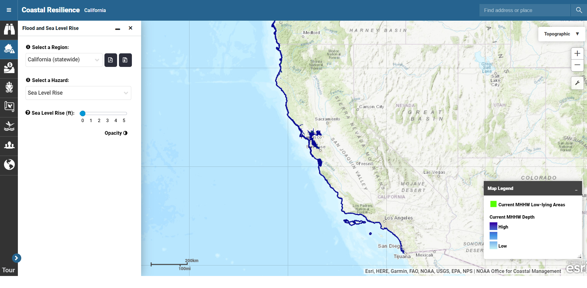
This online, interactive tool helps users visualize future flood risks from sea level rise and storm surge. The tool identifies areas and populations at risk and provides a better understanding of potential ecological, social, and economic impacts. This information is particularly helpful to officials involved in coastal planning, zoning, and land acquisition who must take into consideration rising sea levels and increased storm intensity and frequency.
Features
- Visualize community vulnerability to storms and sea level rise
- Identify solutions for reducing social, economic, and ecological vulnerability
- Measure the effectiveness of efforts to reduce disaster impacts
Additional Information
Support
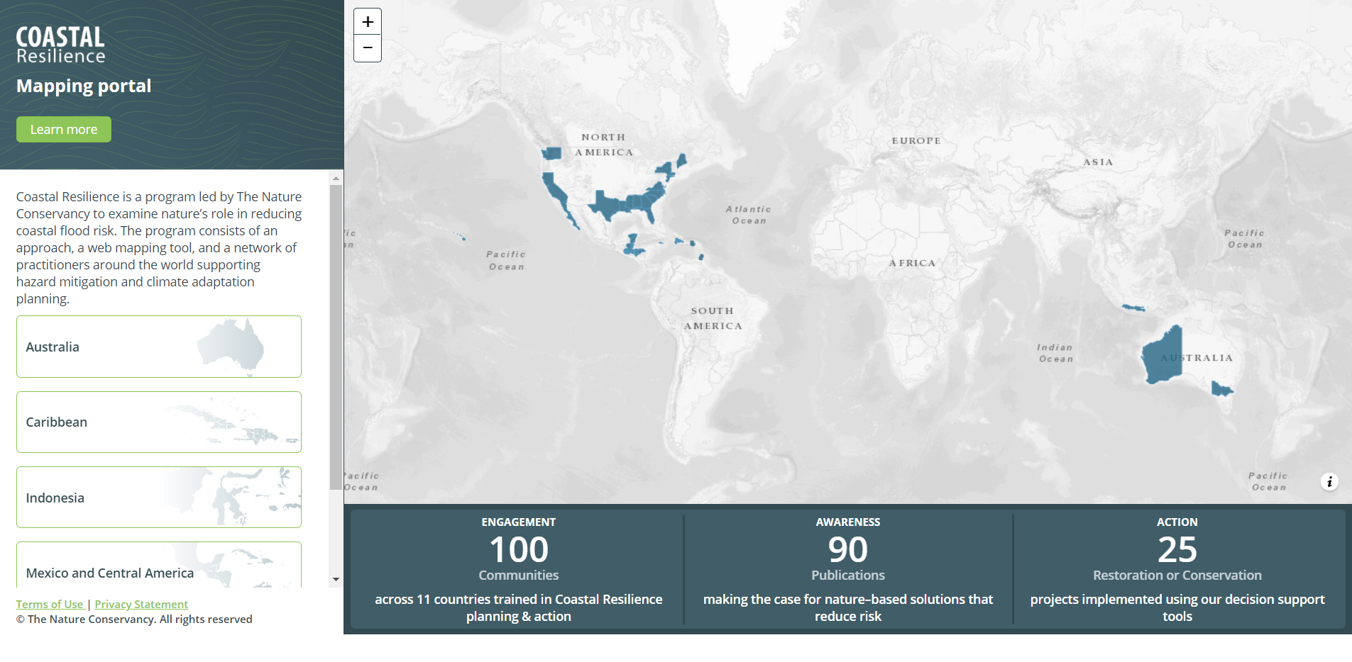
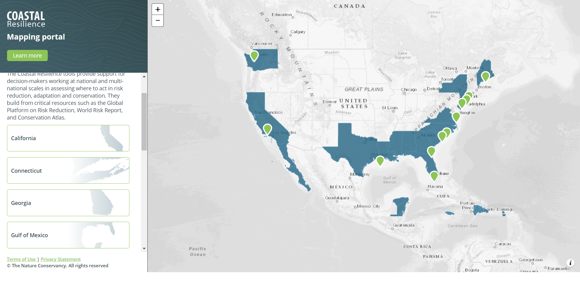
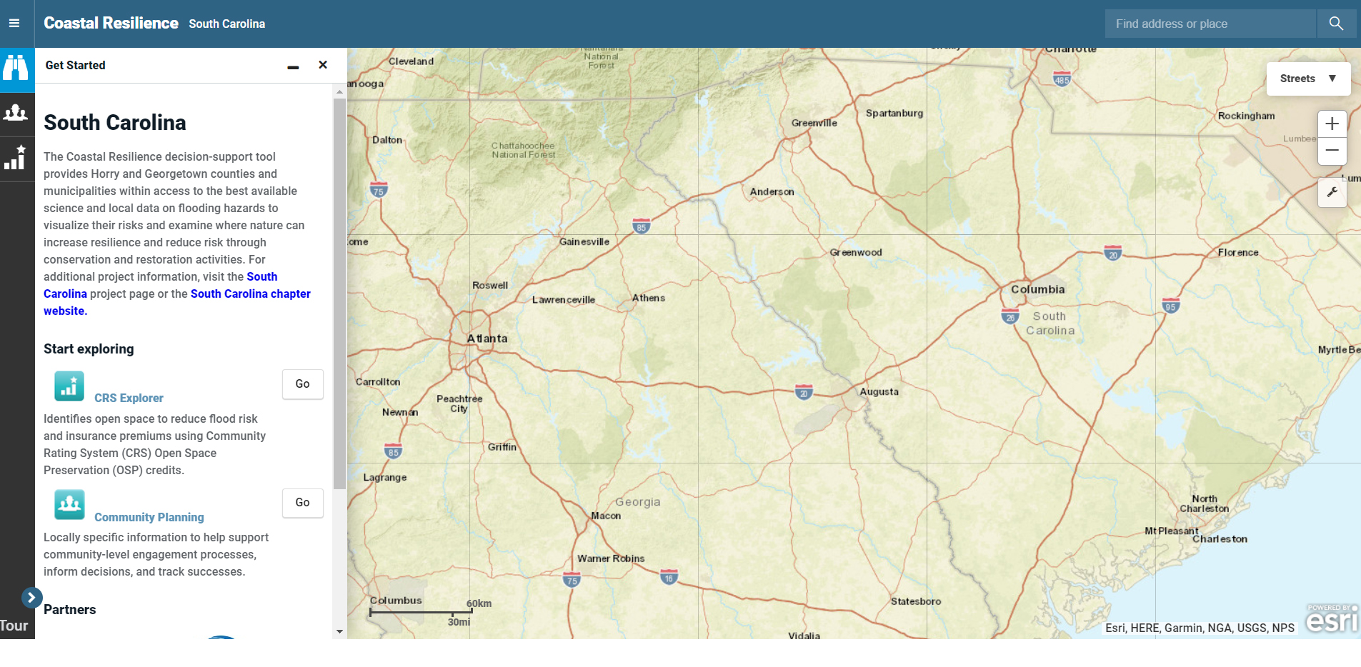
Tool Screenshots