Overview
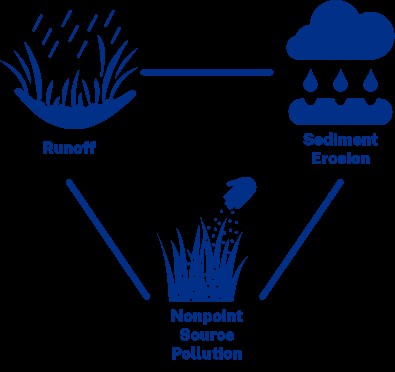
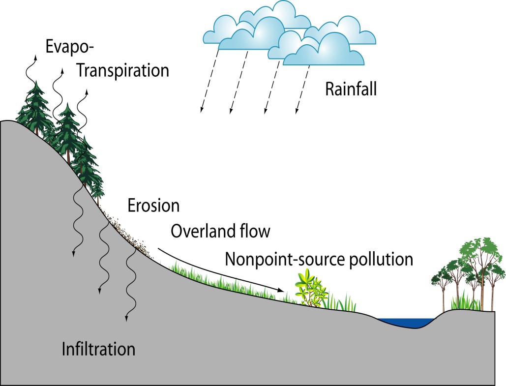
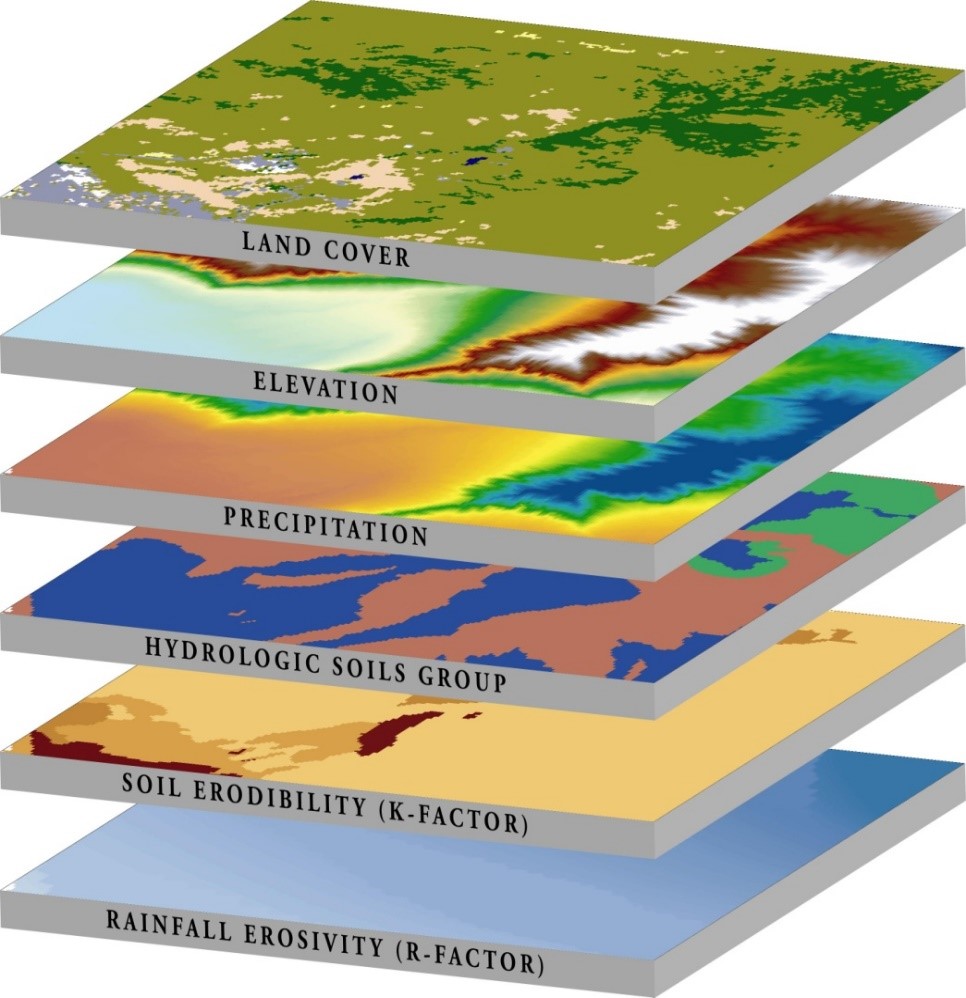
This GIS-based screening tool helps assess changes in water quality resulting from different land use management and climate scenarios. Also known as the Nonpoint Source Pollution and Erosion Comparison Tool, QNSPECT is a QGIS plug-in that allows users to estimate nonpoint-source pollution and erosion processes within watersheds. Users can then compare pollutant and sediment loads based on different scenarios. The tool is designed to be broadly applicable for coastal and non-coastal areas alike.
Requires QGIS v.3.22, or above
Previous Versions: OpenNSPECT, N-SPECT for ArcGIS 9.3, 9.2, 9.0 and 9.1
Features
- Map surface water runoff volumes, pollutants, and sediment loads
- Identify areas that might benefit from changes to proposed development strategies
- Analyze land use change scenarios and impacts
Additional Information
Data Requirements
Support
Use Cases
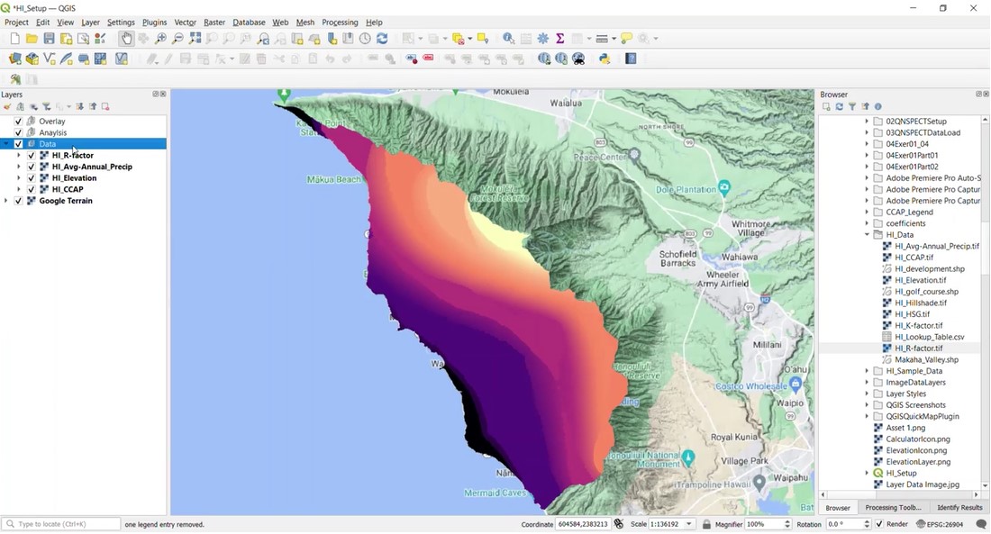
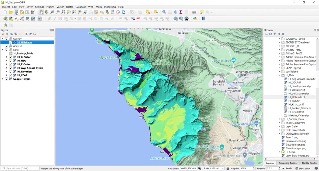
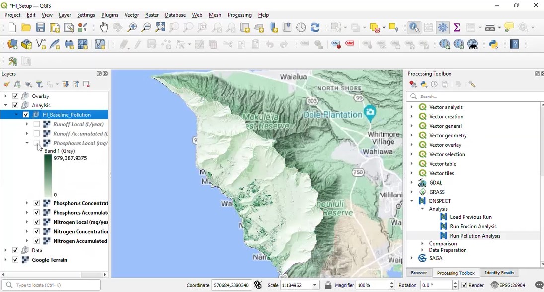
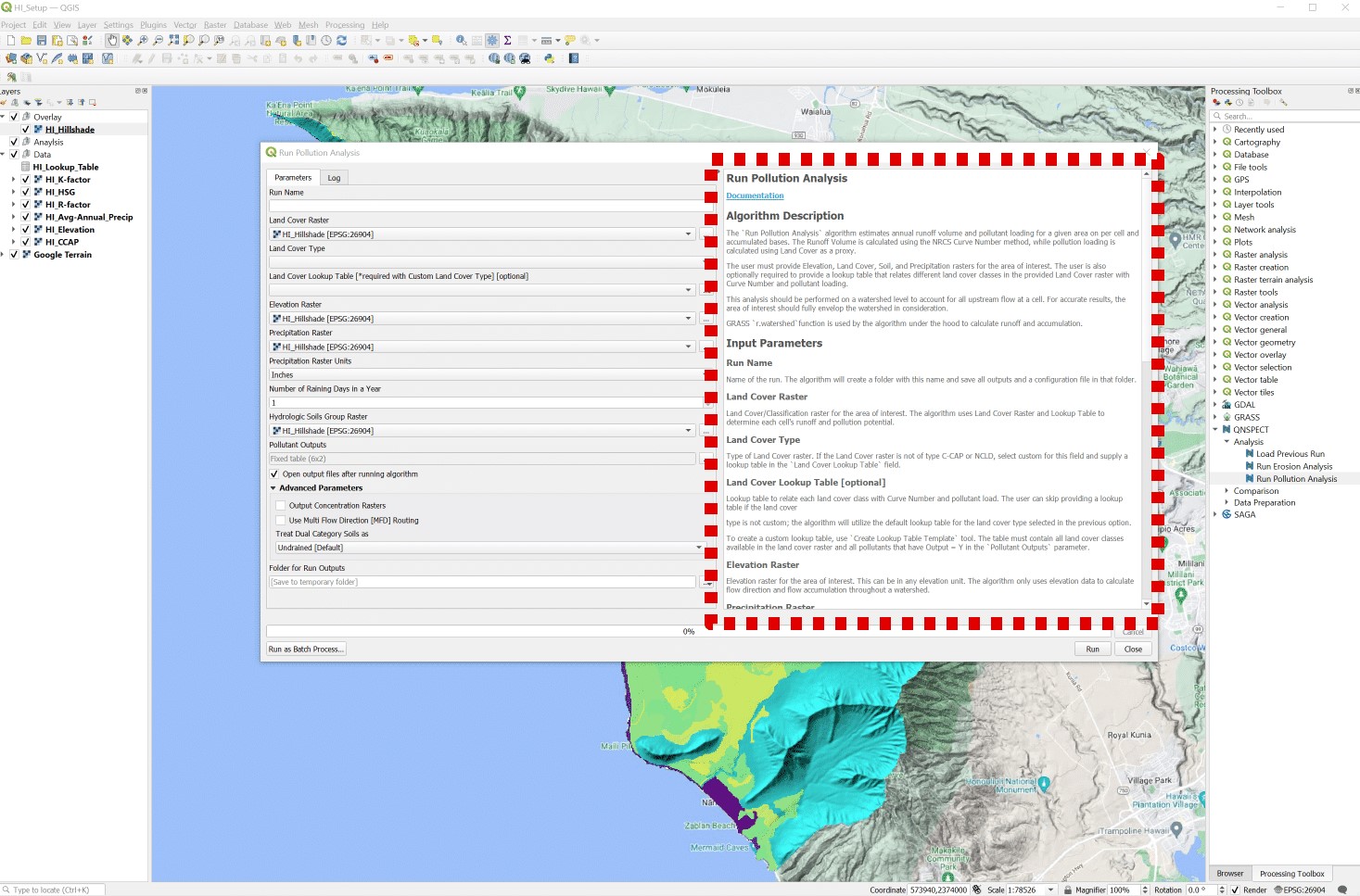
Tool Screenshots