Overview
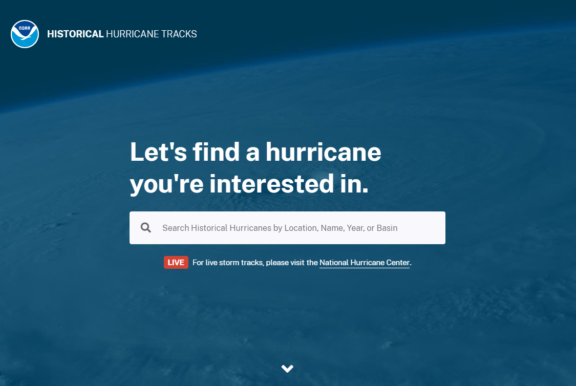
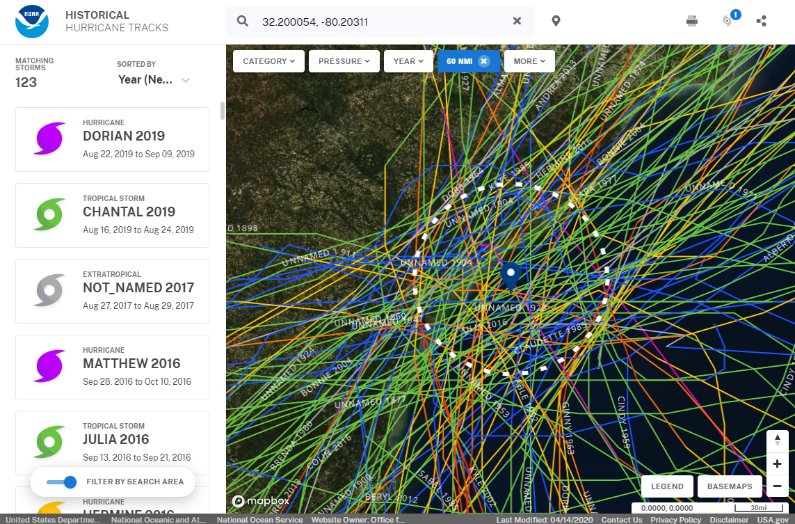
Use this interactive mapping tool to view, analyze, and share historical hurricane tracking information.
Features
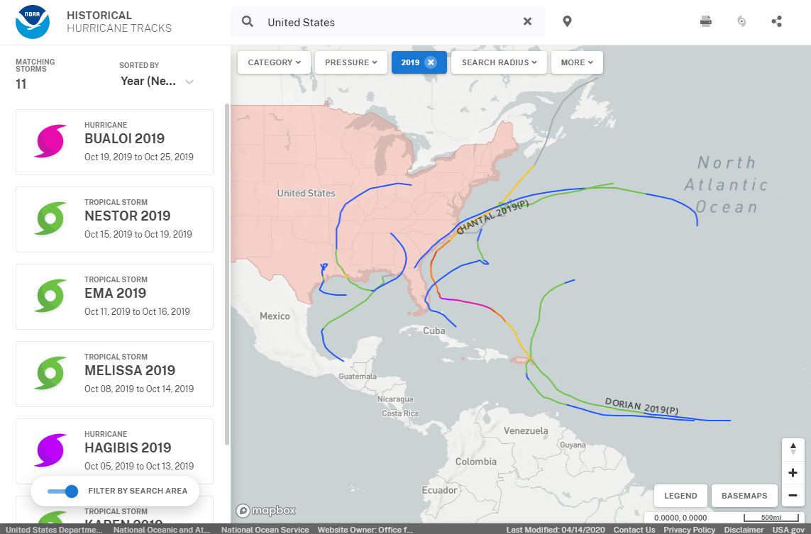
- Search and display hurricanes by location, name, year, or basin
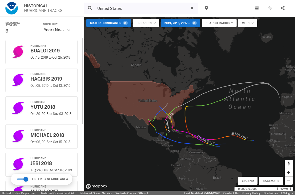
- Customize your storm search using powerful search filters
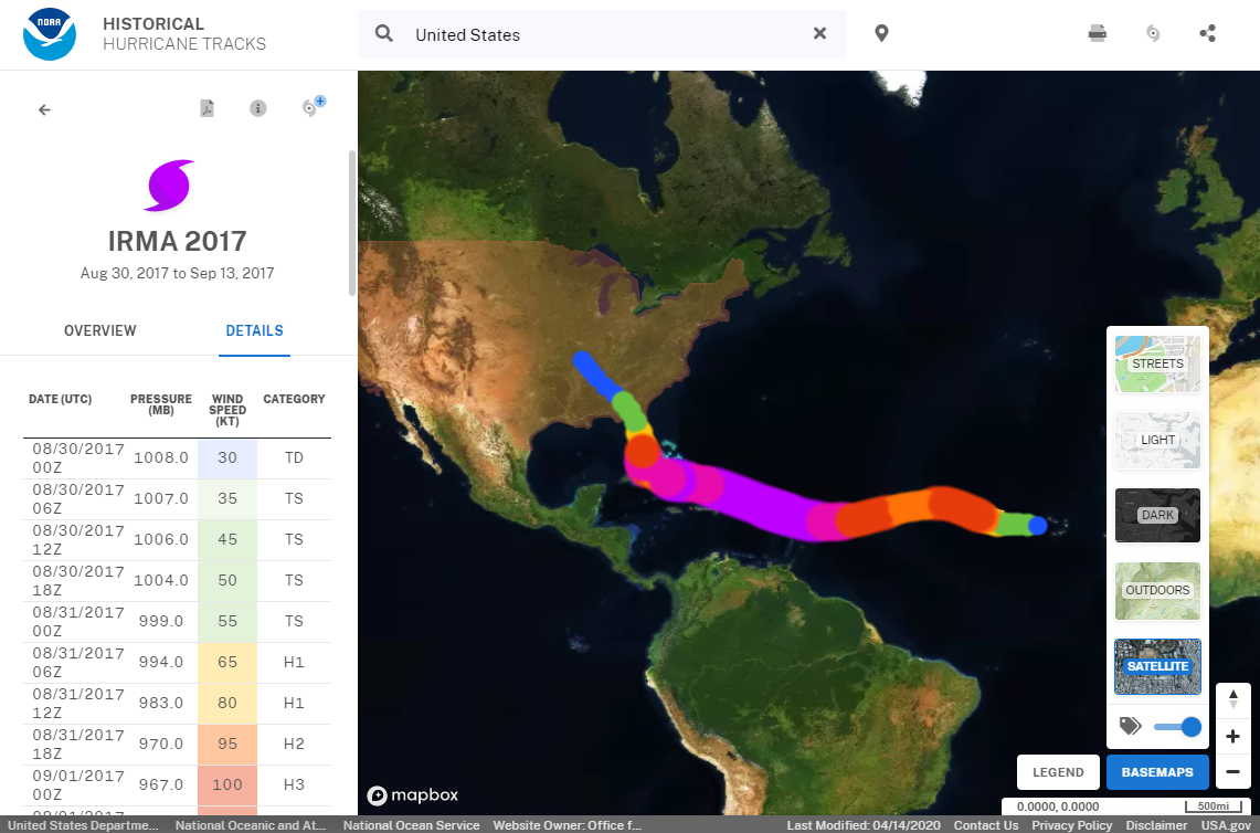
- View technical reports and storm details
- Print your storms or easily share with others
Additional Information
Frequently Asked Questions
Story Maps
Tool Screenshots