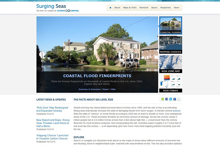
Overview
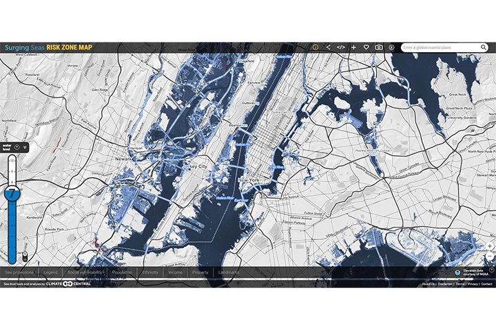
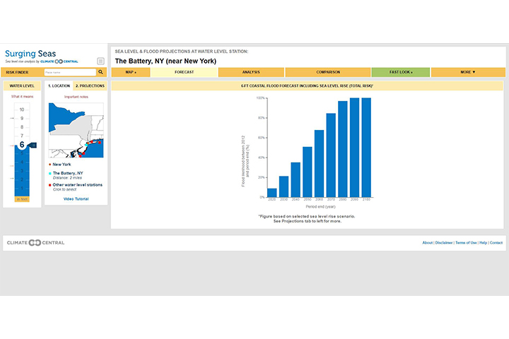
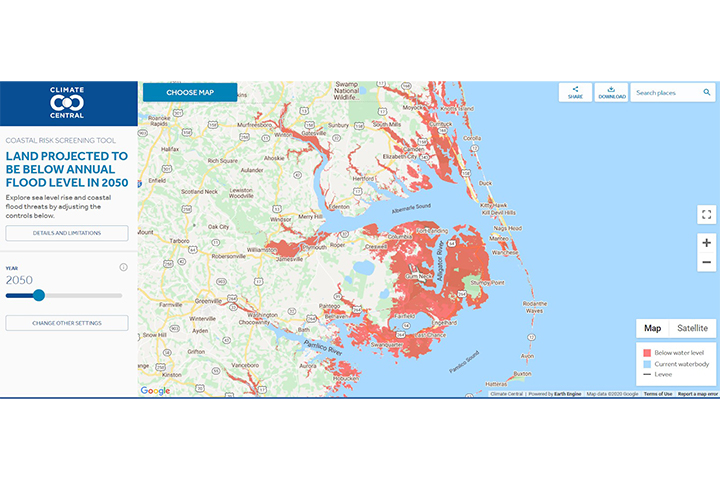
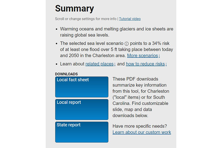
This web-based tool allows users to see areas potentially affected by sea level rise and storm surge, down to the neighborhood scale, and with risk timelines. The tool also provides population statistics, summaries of homes and land affected by sea level rise and storm surge, fact sheets, data downloads, action plans, embeddable widgets, and more.
Features
- Visualize threats from sea level rise and storm surge
- Analyze potentially affected populations and infrastructure
- Get data downloads and embeddable widgets
Additional Information
Support
Tool Screenshots