Overview
This mathematical model uses digital elevation data and other information to simulate potential impacts of long-term sea level rise on wetlands and shorelines. The Sea Level Affecting Marshes Model, or SLAMM, has been used in several geographies and applications across the nation since its development in the mid-1980s. Additional data related to dike locations or other protected areas, accretion rates, erosion rates, and other factors can be included within the model as optional factors.
Requires ArcGIS for viewing outputs in a mapping environment and software, such as Microsoft Excel and Word, to view the text and tabular output.
Features
- Visualize impacts from various sea level rise scenarios
- Compare impacts from multiple scenarios and time frames
- View map outputs for additional analysis
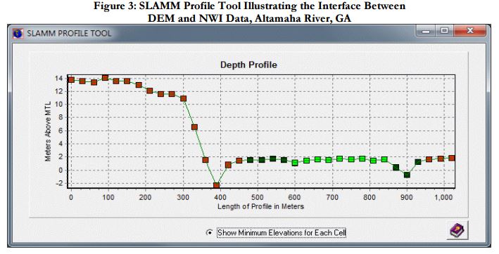
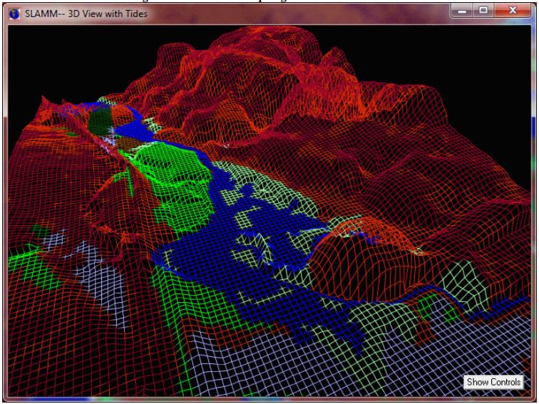
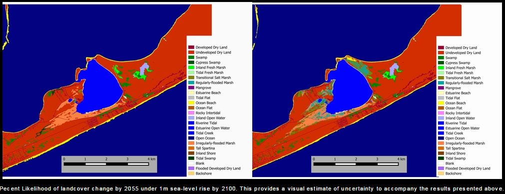
Tool Screenshots