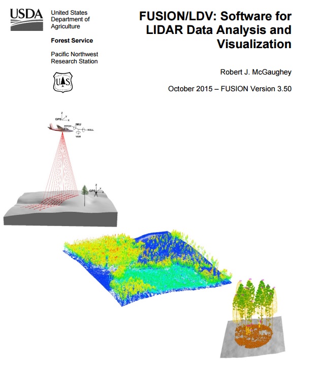
Overview
This stand-alone lidar data viewer and processing software package helps researchers understand, explore, and analyze lidar data. The software performs basic or advanced tasks and can handle large data sets and produce products from raw lidar point data, including digital elevation models and contours. The software also provides conversion tools to generate common GIS data formats.
Features
- Generate digital elevation models and metrics from lidar point data
- Produce bare earth surfaces from unfiltered points
- Obtain subsamples of large data sets
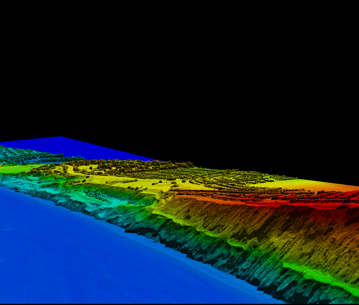
- View multiple lidar data files simultaneously
Additional Information
Support
Tool Screenshots