Issue
Every year, coastal communities in Massachusetts experience damage to property, infrastructure, and natural resources from coastal storms. Along with the associated economic disruptions, these impacts are projected to worsen with the increasing effects of climate change, such as sea level rise. To build the resilience of coastal communities and ecosystems, coordinated adaptation efforts must consider sea level rise and coastal flooding impacts.
Process
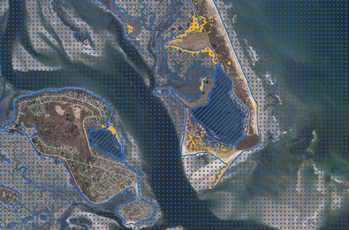
The Massachusetts Ocean Resource Information System (MORIS) online mapping tool contains numerous coastal data layers used to display spatial information pertaining to the Massachusetts coastal zone. By adding NOAA’s sea level rise inundation data to the tool, users are now able to integrate sea level rise scenario data with aerial photographs, assessor maps, public facility and infrastructure locations, and natural resource areas. The inundation data represent the potential extents of water coverage within the accuracy limits of the underlying elevation and tidal data. The information is used by coastal managers to assess and inventory risks and vulnerabilities, communicate climate impacts in community workshops, and aid in resilience planning.
Impact
Over the last few years, several coastal communities have prioritized risk and vulnerability assessment projects using the screening level information provided in MORIS. In 2014 the Great Marsh Resilience Partnership, funded through a Department of the Interior restoration grant, set out to restore and enhance the 20,000 acres of wetlands and dunes running from Cape Ann to New Hampshire. Because of the scale and scope of the project, data from the tool were used to help successfully perform risk assessments, prioritize local restoration projects, and develop coastal resilience plans focused on reducing the vulnerability of local municipalities to storms.