
Issue
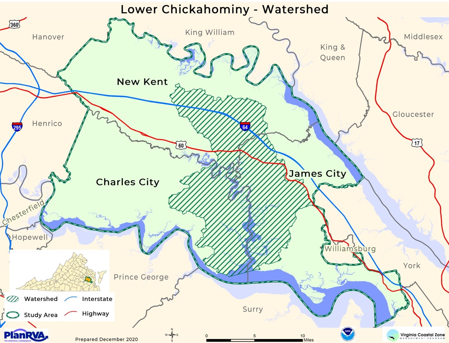
The Lower Chickahominy Watershed in eastern central Virginia boasts nearly pristine marshes and swamp forests. Realizing the watershed would one day be at risk of development for economic gain, the coastal planner with the Virginia Coastal Zone Management Program decided to be proactive in exploring ideas for conserving this resource.
Process
Using funding from NOAA’s Office for Coastal Management, the Virginia Coastal Zone Management Program began working with individuals from county agencies who work toward protecting coastal resources. The group decided to start promoting ecotourism as a way to bring in additional revenue, rather than risking the asset be lost to development in the future. After participating in Social Science Basics for Coastal Managers—a NOAA Digital Coast training offered through the Chesapeake Bay-Virginia National Estuarine Research Reserve—the program’s coastal planner employed some of the skills learned from the training for engaging interested stakeholder groups. Virginia Coastal Zone Management, with contracting assistance from the University of Virginia’s Institute for Engagement and Negotiation, began working with additional partners, including natural and cultural resource agencies, small business owners, and local tribal leaders. Skills from the training used in this process include conducting effective interviews, leading focus groups, and identifying potential sources of conflict—all of which were used during the project’s thought leader interviews, focus group sessions, steering committee meetings, tribal-local government workshop, and three stakeholder summits.
Impact
After several years of working on this project, the effort resulted in a signed memorandum of understanding among the three tribes, three localities, the Richmond Regional Planning District Commission, and the Hampton Roads Planning District Commission to create the Lower Chickahominy Watershed Collaborative. This agreement is designed to improve coordination on efforts to increase sustainable ecological and economic activity, while preserving natural and cultural resources within the watershed. The collaborative, completed in November of 2021, is believed to be the first of its kind for the state and the Mid-Atlantic region. The Capitol Region Land Conservancy and Chesapeake Bay-Virginia Research Reserve have since signed the memorandum of understanding as supporting members of the collaborative, and additional partners are welcome to join. Working groups have also been formed and will continue to meet to address watershed priorities, despite the NOAA grant ending in March of 2022. (2022)
Contributors
- Capital Region Land Conservancy
- Charles City County, Virginia
- Chesapeake Bay National Estuarine Research Reserve
- Chickahominy Indian Tribe
- Hampton Roads Planning District Commission
- James City County, Virginia
- New Kent County, Virginia
- Pamunkey Indian Tribe
- Richmond Regional Planning District Commission
- Virginia Coastal Zone Management Program
- University of Virginia