Issue
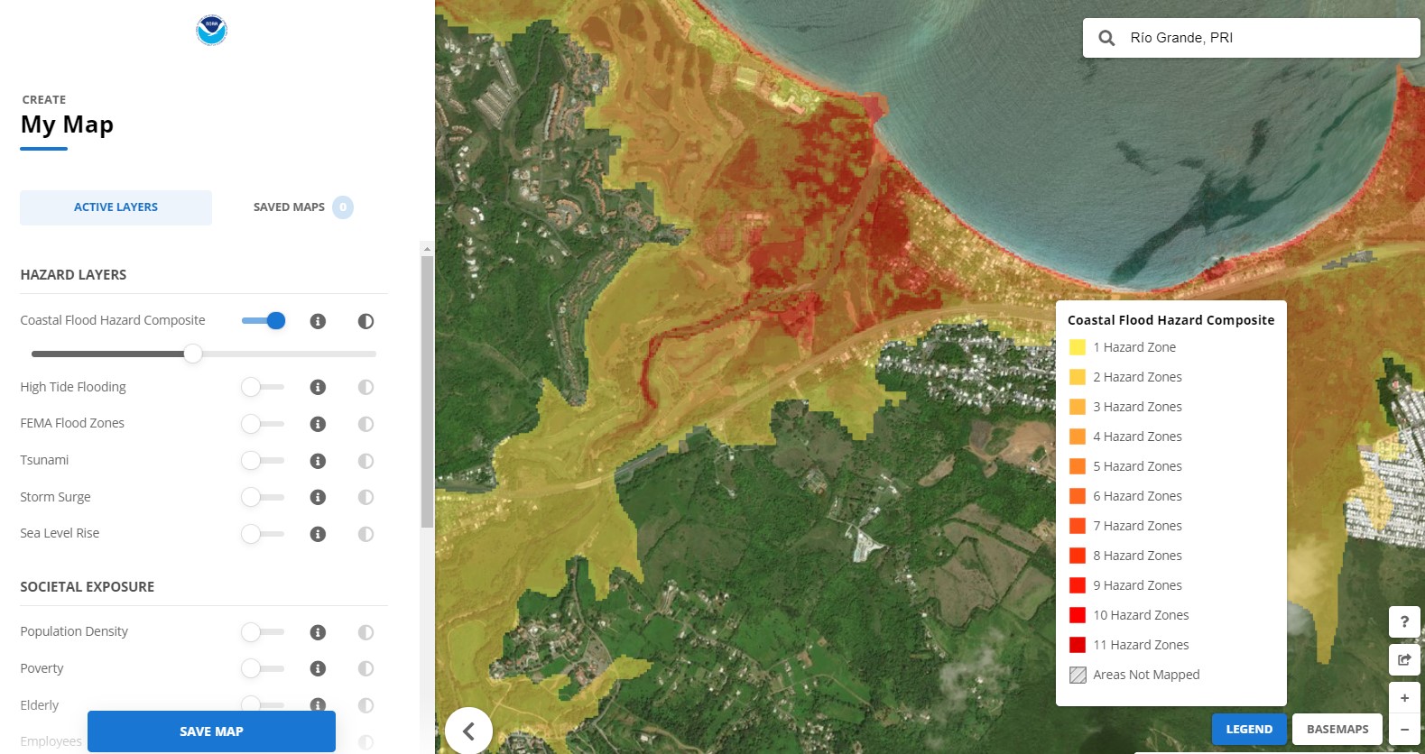
After Hurricane Maria devastated most of Puerto Rico—with powerful storm surge and roaring flash floods—the territory recognized the need to adopt new advisory base flood elevation requirements to better plan and prepare for future coastal hazards. The Coastal Flood Exposure Mapper is a useful tool to identify areas of potential flood exposure, but staff members from NOAA’s Office for Coastal Management quickly realized the need for high-resolution flood maps for Puerto Rico. These maps would allow planners to zoom in to finer scales and would be compatible with the territory’s new advisory base flood elevation maps developed by FEMA.
Process
Before providing on-the-ground support to the territory’s recovery planning effort, staff members from NOAA’s Office for Coastal Management updated the Coastal Flood Exposure Mapper’s functionality to allow visualization of flood hazards at a higher resolution for Puerto Rico. Following arrival in Puerto Rico, staff members provided training to planners within the Planning and Capacity Building Recovery Support Function, a group tasked with engaging with local communities during the development of the territory’s overall recovery plan.
Impact
Puerto Rico’s Planning and Capacity Building Recovery Support Function used the Coastal Flood Exposure Mapper to inform the recovery plan, which is a requirement of Congress identified by the hurricane supplemental funding. Implementation of the recommendations within the plan will be used for more efficient, longer-term resilience planning at the municipal level. (2018)