Overview
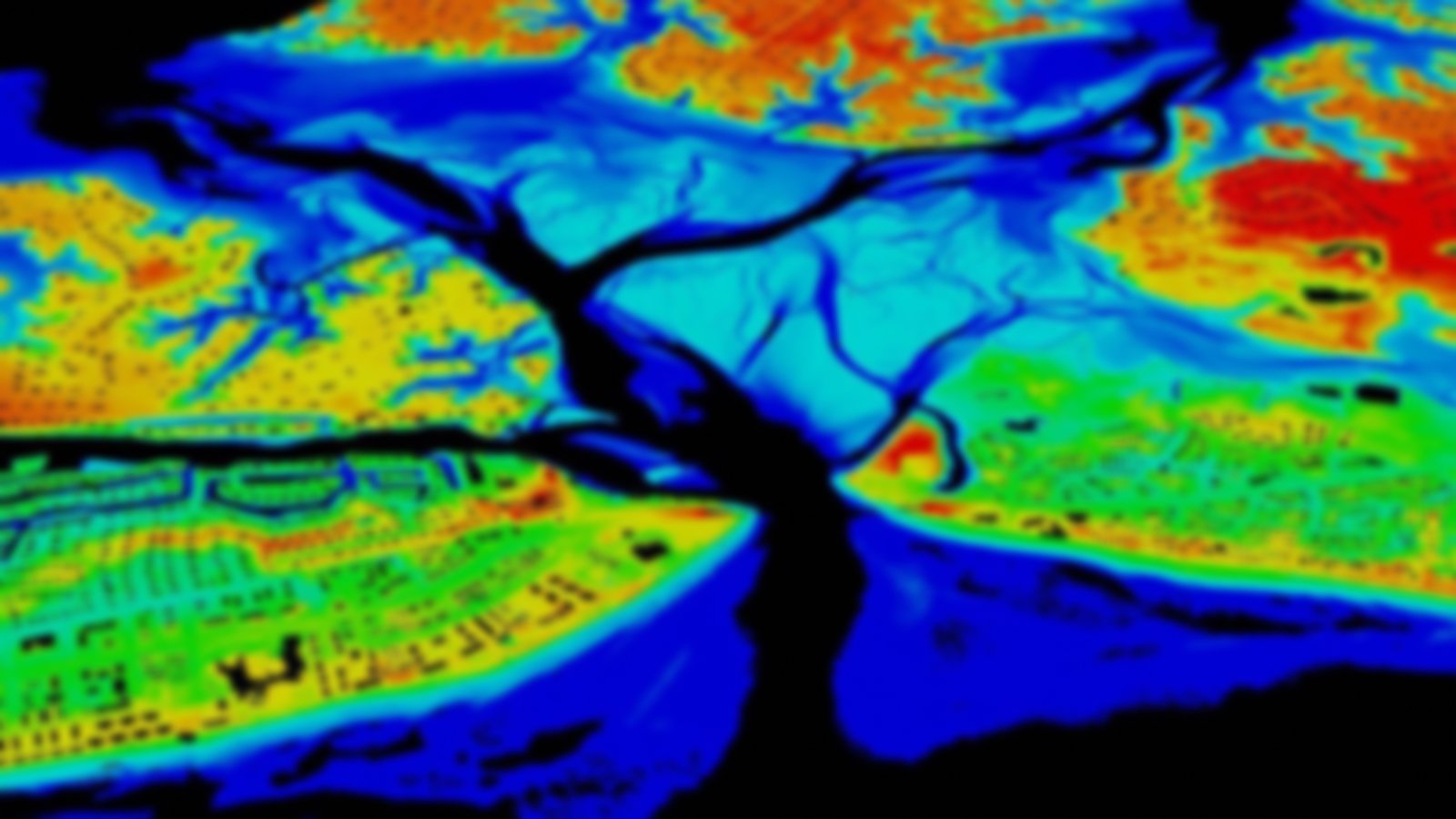
This product uses a combination of wetland-related data and modeling methods to determine how likely an area is to be a wetland. This combination provides a robust representation of potential wetland features and a superior means of accounting for areas with missing coverage or varying vintages. Input data include the National Wetland Inventory (NWI), Soil Survey Geographic (SSURGO) database, National Hydrography Dataset (NHD), National Elevation Dataset (NED), and Landsat Satellite Imagery.
The ratings these data provide may be useful in assessing areas as past or current wetlands or for evaluating sites for wetland mitigation or restoration. These data were produced as part of NOAA’s coastal land cover efforts and were used to improve wetland categories within C-CAP regional land cover maps for the continental U.S.
