Issue
There is a lot of data and information available for citizens to use, but it can be overwhelming and confusing. That’s the challenge facing information providers – how best to make complicated information easier to digest and apply.
Process
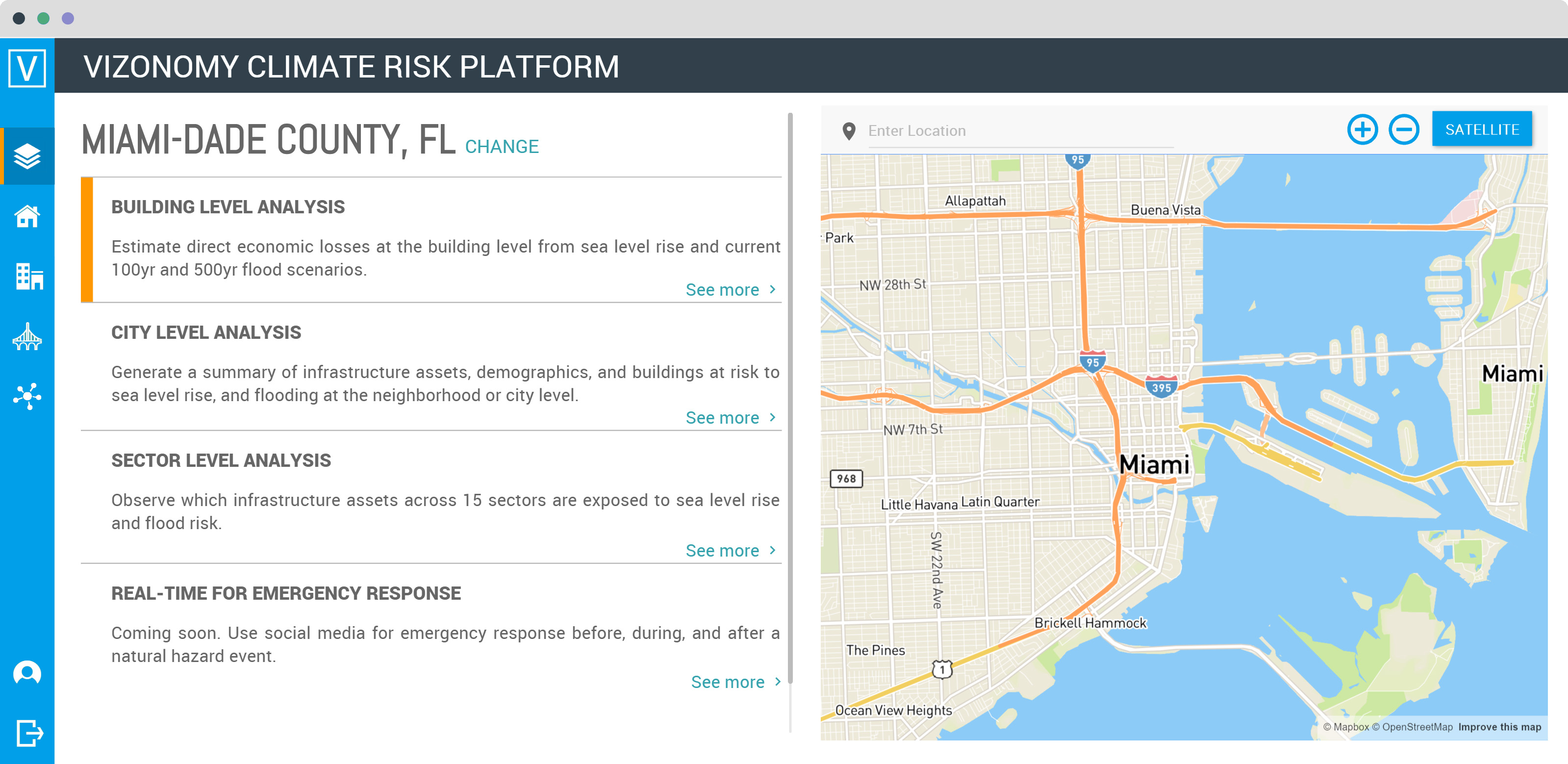
Using sea level rise and economic data from NOAA’s Digital Coast, the private sector firm, Vizonomy, created the Vizonomy Climate Risk Terminal. The tool includes seven sea level rise scenarios, from zero to six feet, and calculates economic losses for each scenario. Because NOAA’s data sets provide nearly universal coverage of the nation’s coastline, users can view information throughout the coastal zone.
Impact
The Vizonomy Climate Risk Terminal serves as a web-based version of the Federal Emergency Management Agency’s Hazards-US software for evaluating flood risks. Users can assess building risks and potential economic losses from flooding and sea level rise; the amount of infrastructure, such as roads, schools, and hospitals, exposed to flooding risks; and the specific infrastructure assets at risk.